Research Overview
Since its inception in 1998, the Plum Island Ecosystems LTER has been working toward a predictive understanding of the long-term response of coupled and-marsh-estuary-ocean ecosystems to changes in three key drivers: climate, sea level, and human activities. As rates of change in these drivers have accelerated in the PIE region, there is critical need to understand the mechanisms that underlie these responses, and to provide information necessary for effective and timely management.
Coastal ecosystems exist at a dynamic interface between continents, oceans, and the atmosphere. The increasing human use of coastal watersheds, coupled with climate change and sea-level rise, alters the ways in which materials and energy are transformed and transported within these systems. Changes in the functioning of coastal ecosystems will have important consequences for the people who value them for food, recreation, storm protection, and other ecosystem services.
Our current research examines the dynamics of coastal ecosystems in a region of rapid climate change, sea level rise, and human impacts. By focusing in on sediment dynamics, species interactions, and the role that warmer water plays on species changes, we are building on our previous work that showed how geomorphic connectivity between landscapes, riverscapes, and seascapes are altered by those external drivers, while maintaining the systems-level approach that has characterized PIE research. This approach led to key findings about the importance of scale in evaluating interactions between humans and the landscape, for example, or about the importance of understanding fish movement between habitats as indicators of ecosystem function. Other research highlights have shown the importance of the hydrologic drivers at PIE and have connected those drivers to biogeochemical cycles and thence to system productivity and food webs. Experimental approaches are underpinned by long-term monitoring of fundamental ecosystem processes and physical drivers and are guided by modeling efforts that aim to synthesize the knowledge we gain.
Key Research Questions
- How are the sources and fates of organic matter and nutrients in the linked watershed/estuary system being altered by changing land use, sea level rise, climate, and geomorphology?
- How will food webs and energy flow respond to new geomorphic configurations, sea level rise, and changing climate?
- What internal feedbacks might accelerate, slow down, or even reverse the predicted changes in emergent marsh configuration and the fate of carbon, nutrients, and energy?
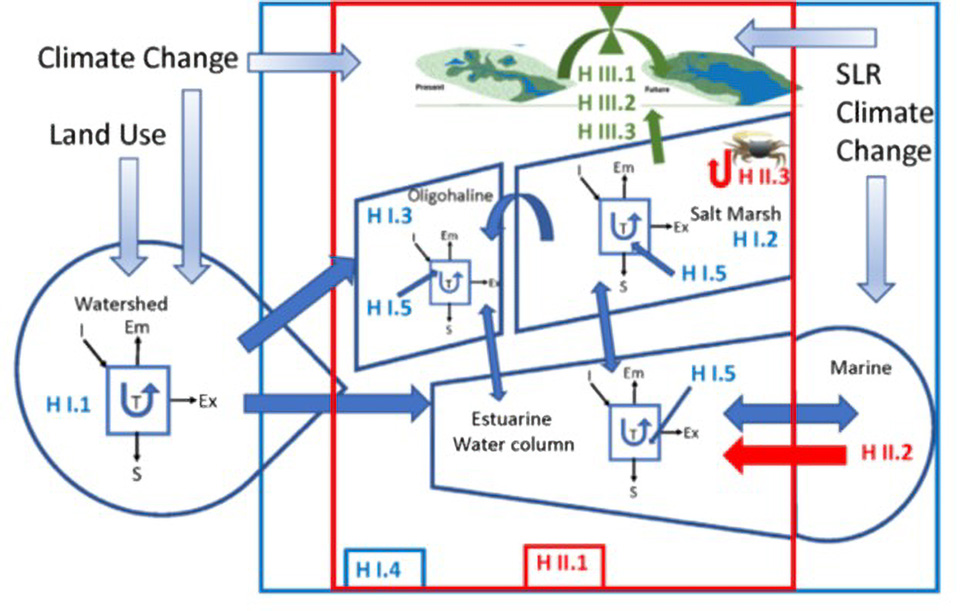
The conceptual diagram of PIE V. In all questions we consider how the drivers of land-use change, climate change and sea level rise (SLR) are impacting the systems. For Q I (blue), in the watershed, estuarine water column, saline marsh and oligohaline marsh we will examine the inputs (I), storage (S), transformations (T), emissions (Em) and export (Ex) of carbon and nutrients. In Q II (red) we will examine how energy available to consumers changes across habitats and with climate change as new food webs are altered by species switches. For Q III (green) we will examine how internal feedbacks may accelerate or resist changes to the fate of the emergent marshes and alter the after of carbon, nutrients, and energy. (see text for details on the individual hypotheses).
Current Research
Biogeochemistry
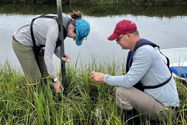
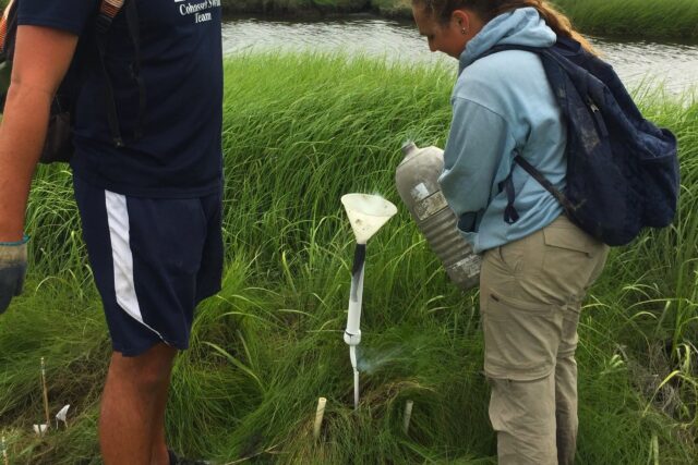
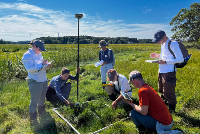
The biogeochemistry group focuses on understanding changes in salinity, nutrient fluxes, primary productivity, carbon storage, and water chemistry in the marsh. Numerous long-term datasets describe nutrient concentrations and dynamics from the watershed, estuary, and marshes. They include data from repeated grab samples at dams discharging to the estuary, automated sampling of streams in the watersheds, transect sampling in the rivers and the estuary, porewater monitoring in the marshes, and nutrient fluxes from subtidal sediments. Additional long-term data on nutrients are associated with fertilization experiments as well as productivity and biomass measurements. Most recently, instrumented towers are providing year-round monitoring of CO2 fluxes.
Consumers
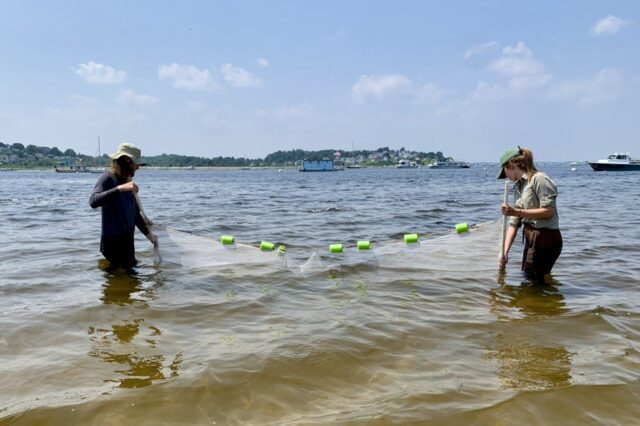
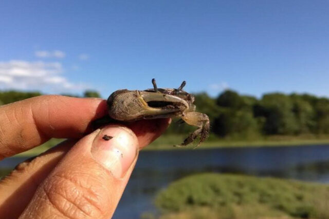
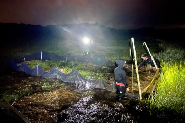
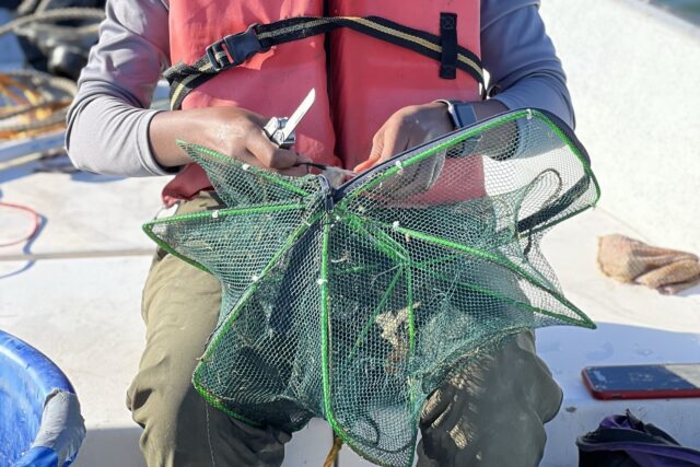
The consumers group researches food web dynamics and maps material and energy flows within and between habitats. PIE scientists pioneered the use of natural abundance and tracer-level stable isotopes to construct food webs and identify the relative importance of various organic matter sources supporting food webs in different habitats. Long term monitoring of PIE populations has included direct counts of organisms (for example fish, invertebrates, birds) as well as by using indicator measurements such as stable isotopes of C, N, and S, and in the case of phytoplankton, pigment analyses. We also make use of census data collected by others on species of commercial and/or conservation interest, such as Striped Bass and herring.
Geomorphology
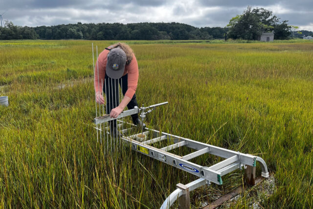
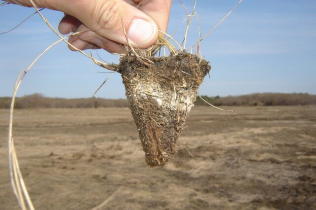
The geomorphology group examines the physical features of the marsh, particularly the transition from high elevation marshes to low elevation marshes due to sea level rise. Research in this area also investigates how human activities, such as marsh restoration activities, affect resilience to sea level rise. Sediment Elevation Tables (SETs) installed throughout the marsh are monitored semi-annually. Depths of feldspar marker horizons were measured at the same time until 2019. Long-term records of carbon and sediment deposition are also obtained as 210Pb profiles from marsh sediment cores.
Plant and Microbial Processes
The plant and microbial processes group are working to understand what controls the growth, survival, and competition of grasses, the responses of plants and microbes to fertilization, and how plant and microbial processes in the rhizosphere mediate carbon storage and nutrient fluxes. This knowledge will increase our ability to predict the capacity of the marshes and their inhabitants to withstand multiple stressors, and help provide strategies for management. Above ground biomass and productivity of Spartina alterniflora and Spartina patens are monitored as control sites within a long-term plot-level marsh fertilization experiment. Water column primary production (based on dawn-dusk O2 fluxes) and chlorophyll a concentrations are collected during semiannual transects of the Parker River Estuary. Benthic chlorophyll a data are available for selected subtidal sites in the Parker River. Long term data sets for vegetation transects are also available for several sites.
Watersheds
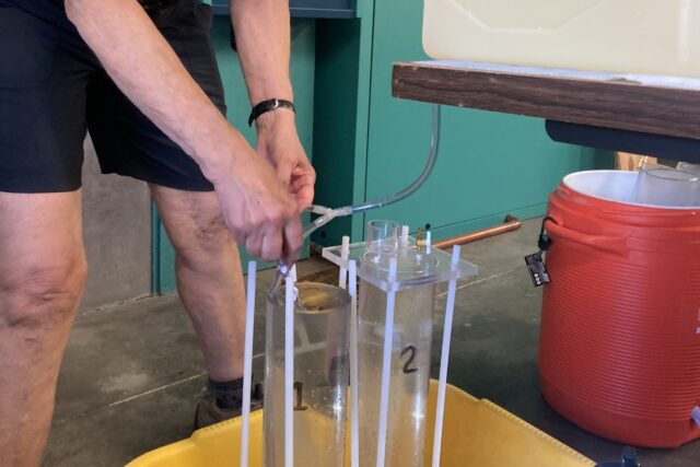
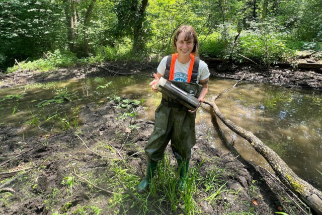
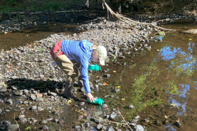
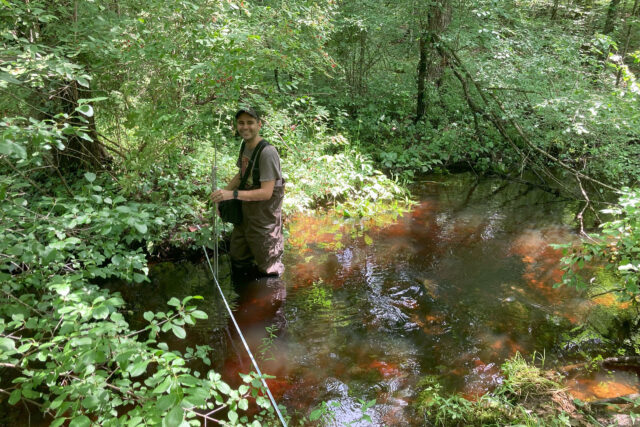
The watersheds group examines the controls of sediment and nutrient flux from the watersheds of the Ipswich, Rowley, and Parker Rivers, which drain into Plum Island Sound. Research emphasizes understanding the sources of nutrients and sediments as a function of land use, climate, and flow conditions, as well as the mechanisms controlling whether sources reach the estuary. Studies of mechanisms take place in river channels, fluvial wetlands, beaver-created wetland ecosystems, and human-made reservoirs, each with different impact on material fluxes to the estuary. Approaches include monitoring of long-term time series, whole ecosystem experiments, mesocosm experiments, and intensive process measurements. Measurements focus on sediments and nutrients, and how these are linked to greenhouse emissions of carbon dioxide, methane, and nitrous oxide from surface waters. More recently studies of microplastic fluxes have been added. Findings from individual sites are integrated through models to understand how the entire river network functions, and how that function varies with flow and land use change.
Long-Term Monitoring
Climate
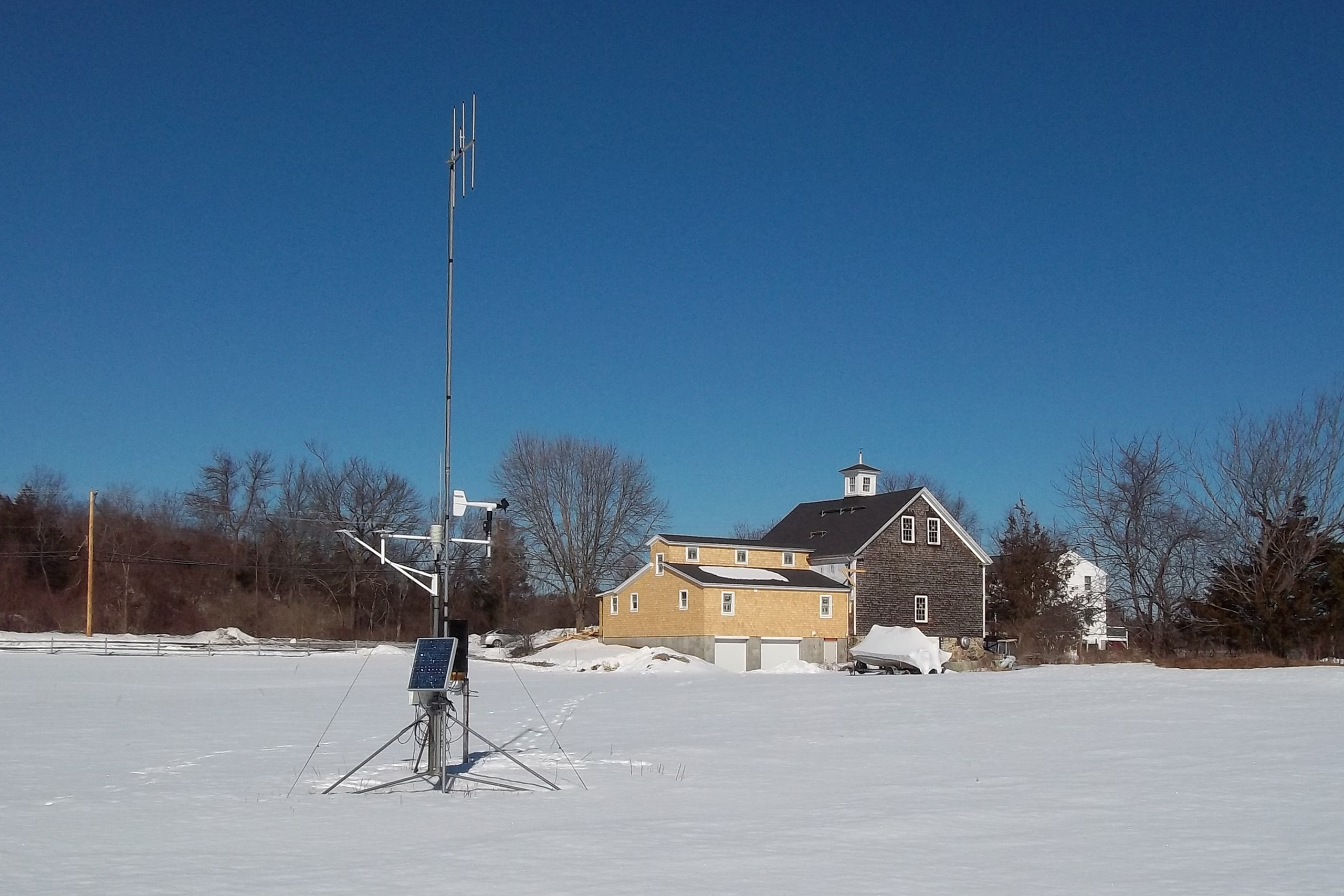
We maintain two weather stations, one at Marshview Farm in Newbury, MA near the Parker River and one at the Ipswich Bay Yacht Club (IBYC) in Ipswich, MA at the mouth of Plum Island Sound. The Marshview weather station measures temperature, precipitation, humidity, wind speed and direction, atmospheric pressure, and solar radiation. The IBYC weather station measures wind speed and wind direction.
Sea Level
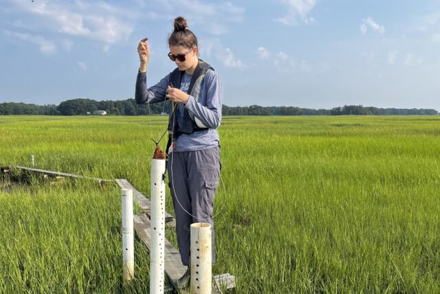
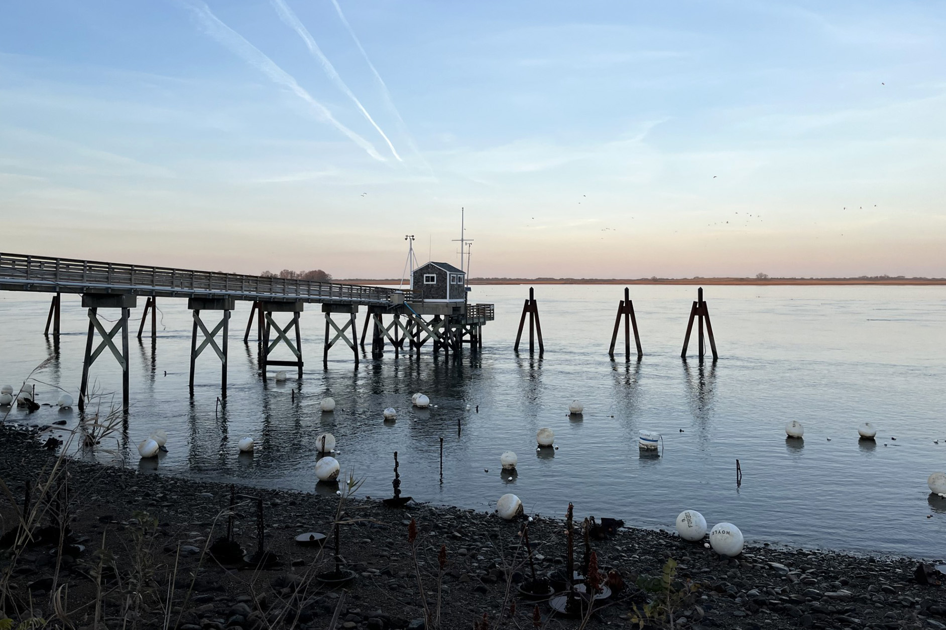
The Ipswich Bay Yacht Club (IBYC) weather station also measures water level using a radar level sensor. Water levels on the marsh and along adjacent river channels are measured with pressure sensors installed in marsh pipes.
Water Quality
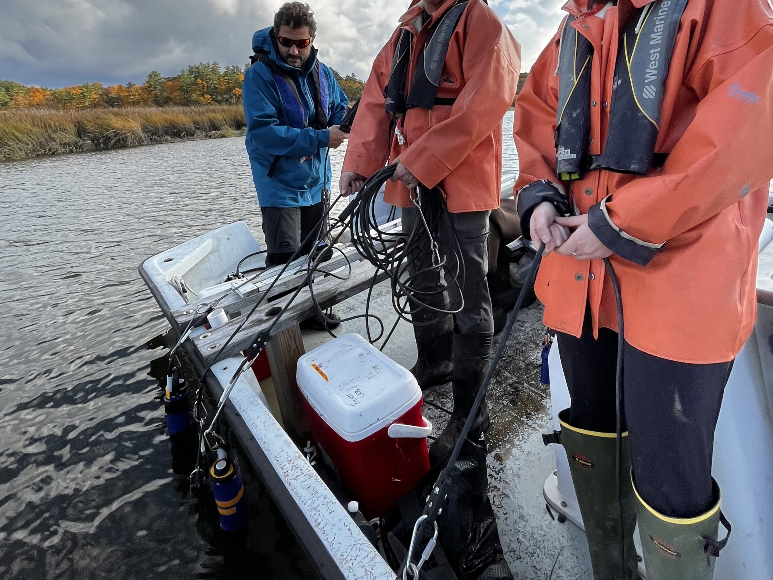
We deploy four YSI EXO2 water quality sondes from early spring to late fall at four sites from Plum Island Sound to the upper Parker River. The sondes measure depth, temperature, conductivity, pH, dissolved oxygen, fluorescent dissolved organic matter, turbidity, and algae.
Eddy Flux
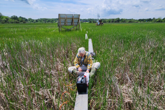
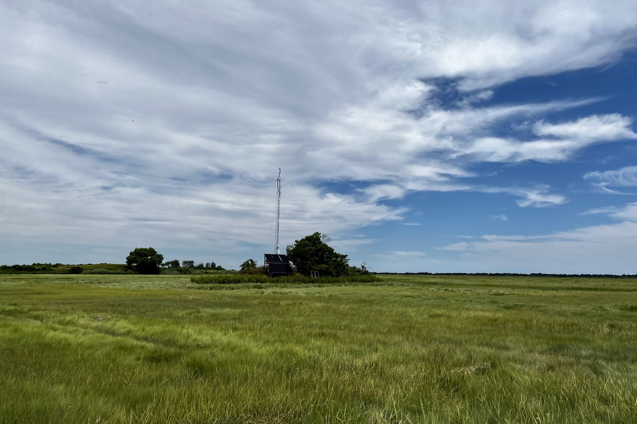
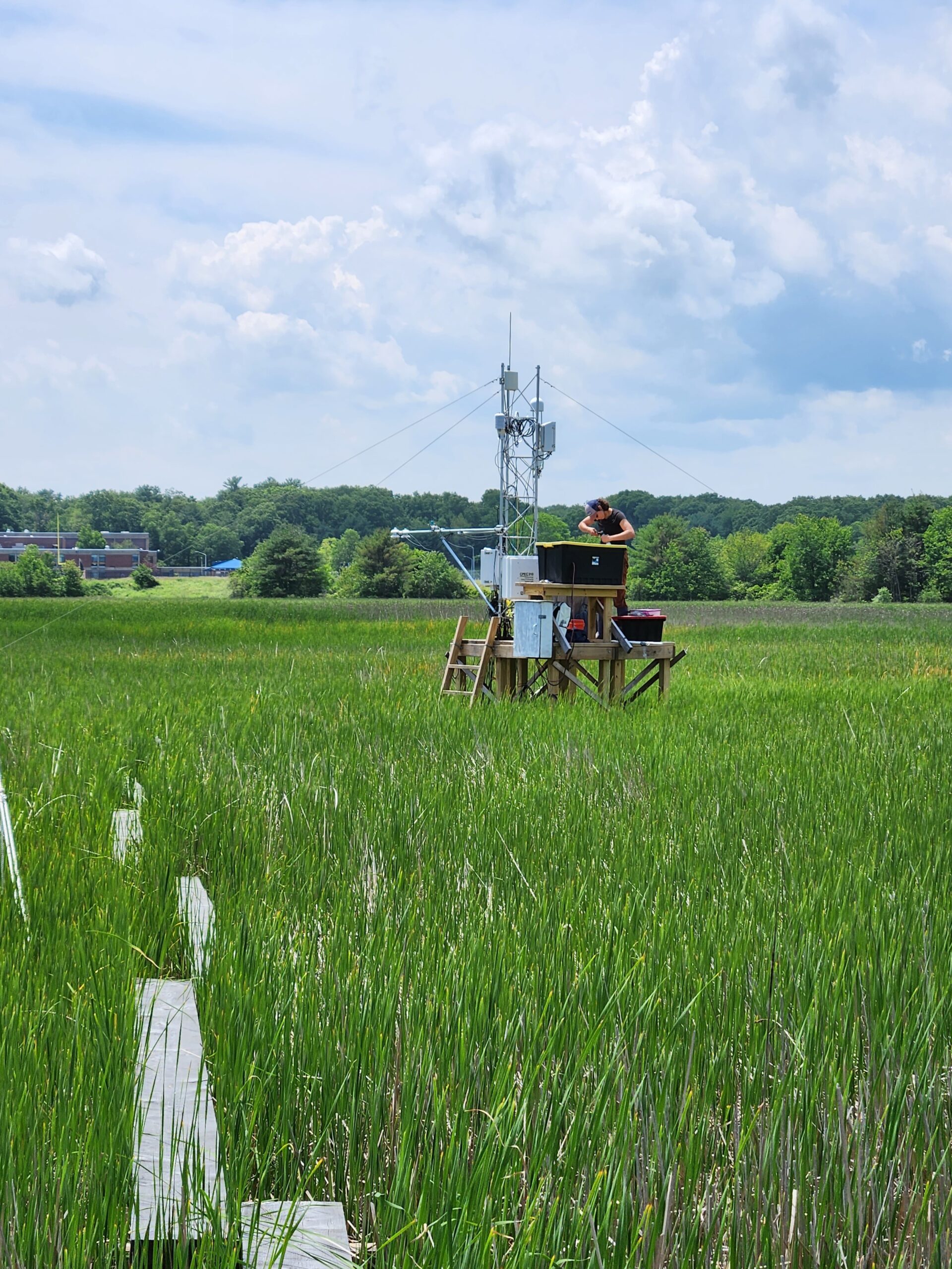
We have two eddy flux towers located in the salt marsh within the Nelson Island Creek catchment: one permanent tower in the high marsh on Nelson Island, and one seasonal tower in the low marsh at Shad Creek. Measurements include air temperature, relative humidity, CO2, H2O, anemometer, net radiometer, PAR, soil temperature, water table level, and soil heat flux. Together with a third tower in the Typha marsh in the upper Parker River, they provide a high-resolution view of net carbon dioxide exchange, evapotranspiration, and energy exchange.
Related Projects
From tides to seasons: How do cyclic tidal drivers and plant physiology interact to affect carbon cycling at the terrestrial-estuarine boundary?
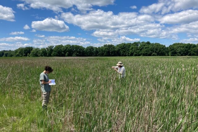
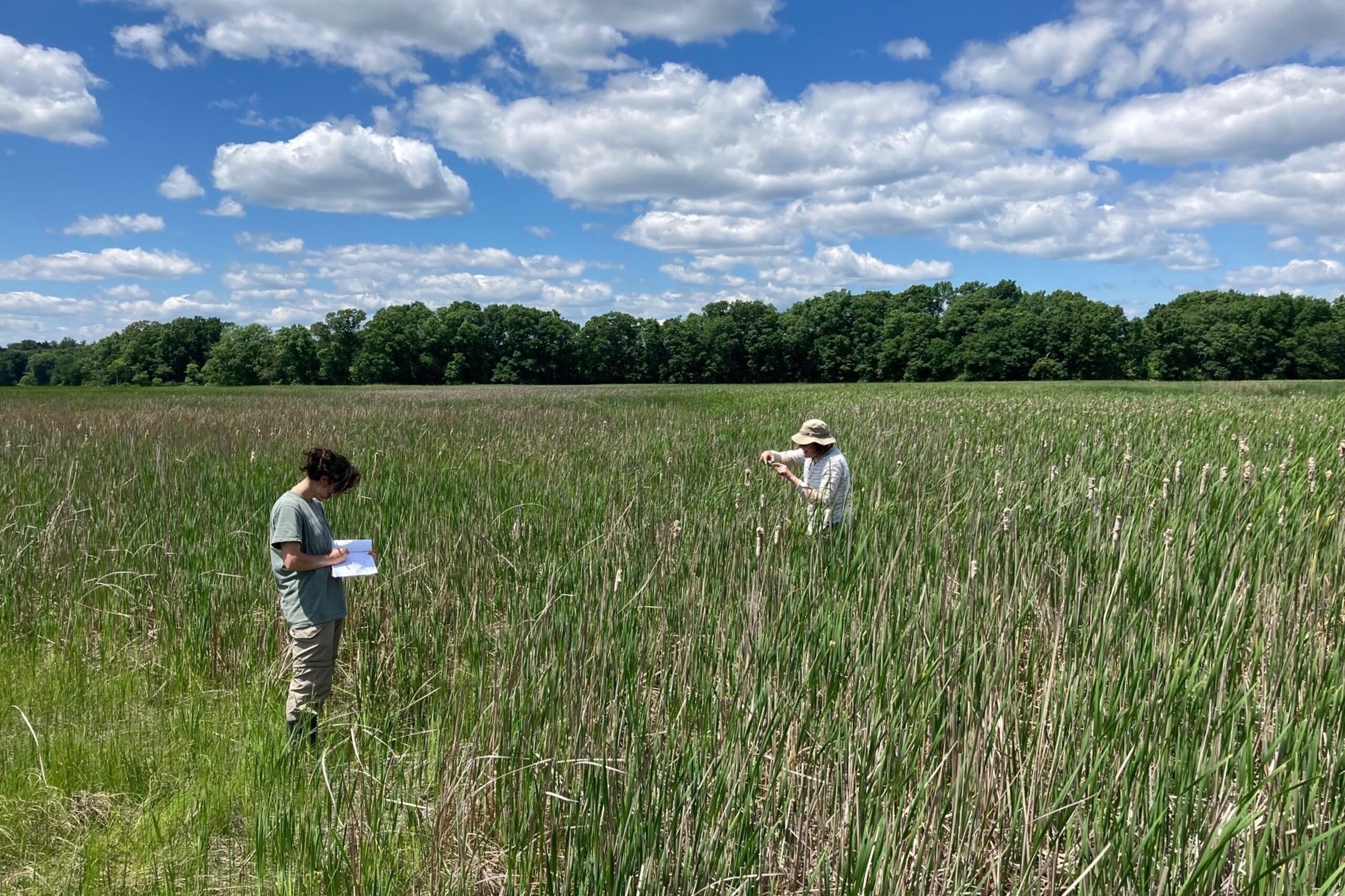
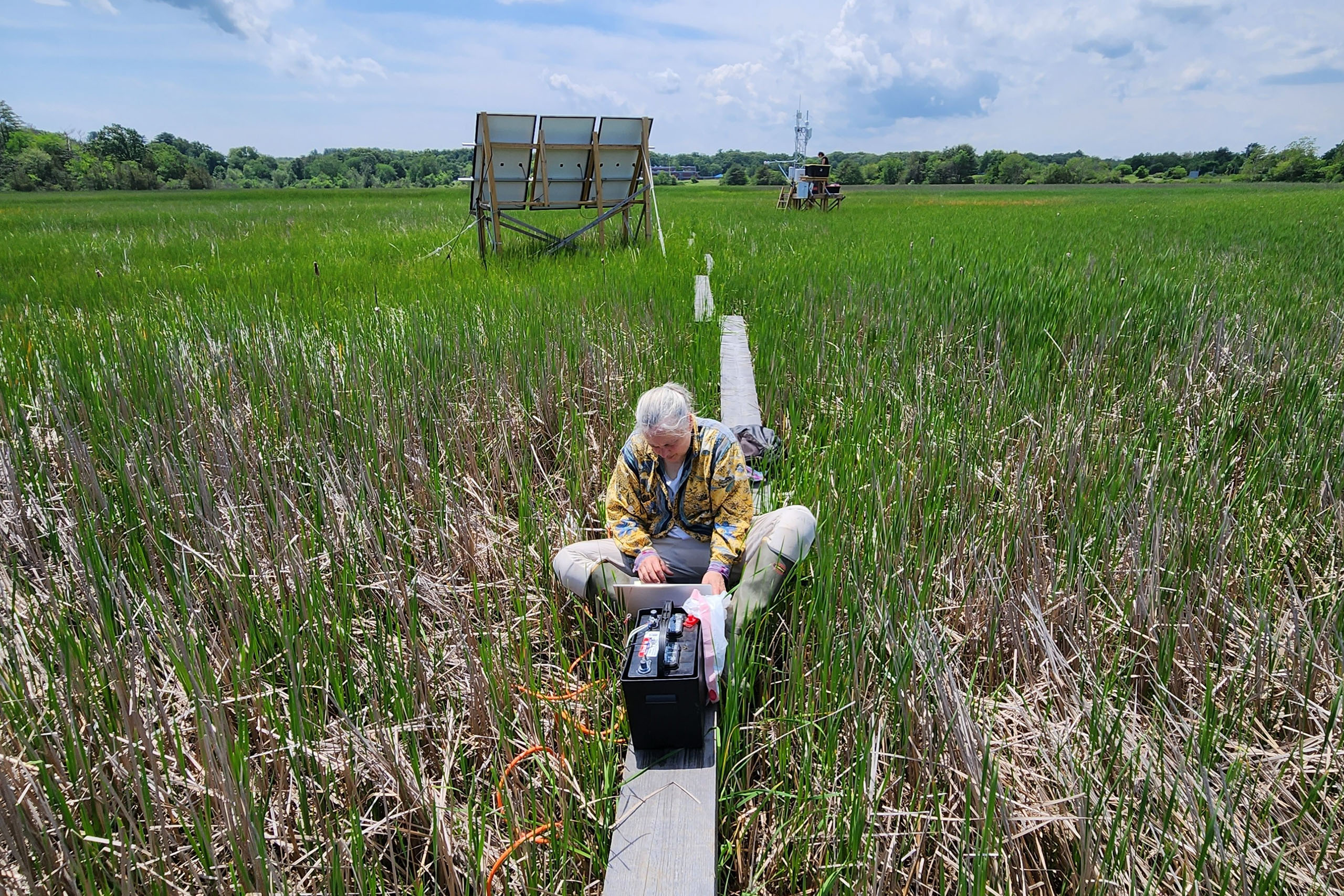
The overarching goal of the DOE Typha project is to improve mechanistic process understanding and modeling of wetland hydro-biogeochemistry in tidal wetlands. Operating within a brackish marsh environment, our interdisciplinary team employs intensive and new spatially-explicit sediment process studies with continuous eddy covariance measurements of carbon and energy exchange. Research is grounded in the development and application of the modeling tool ELM-PFLOTRAN, tailored to capture the dynamics of coastal wetlands, with a focus on the role of salinity changes in methane cycling and plant productivity.
Now entering its third year, the project is particularly focused on exploring how varying salinity levels influence carbon fluxes, such as Gross Primary Production and Methane flux. Currently, the group is studying the aftermath of an extreme salinity event observed following a drought in summer 2022 and its ensuing recovery in summer 2023. Led by Project PI Inke Forbrich (University of Toledo), collaborators include Anne Giblin (MBL), Zoe Cardon (MBL), and Teri O’Meara and Ben Sulman (Oak Ridge National Laboratory, ORNL).
Tidal Triggers and Hot Spot Switches in Coastal Marsh
It’s not often that an entire ecosystem switches gears rapidly, changing its function naturally and nearly overnight. But the brackish cattail marsh along the Parker River at Plum Island Sound did exactly that in summer of 2022, during the depth of summer drought. Emission of the greenhouse gas methane from the marsh to the atmosphere dropped from high to very low over the course of just a few hours, and it was not at all clear why. MBL Senior Scientist Zoe Cardon and colleagues Inke Forbrich (University of Toledo), Anne Giblin (MBL), Jen Bowen (Northeastern University), and Teri O’Meara and Ben Sulman (Oak Ridge National Laboratory, ORNL) are digging into this ecosystem-scale mystery by analyzing cattail and microbial physiological responses to salt stress. They are supported by a grant from the Department of Energy’s Environmental System Science (ESS) program.
Ecosystem on the Edge: How Coastal Marsh Plants and Microbes Thrive in an Oscillating Environment
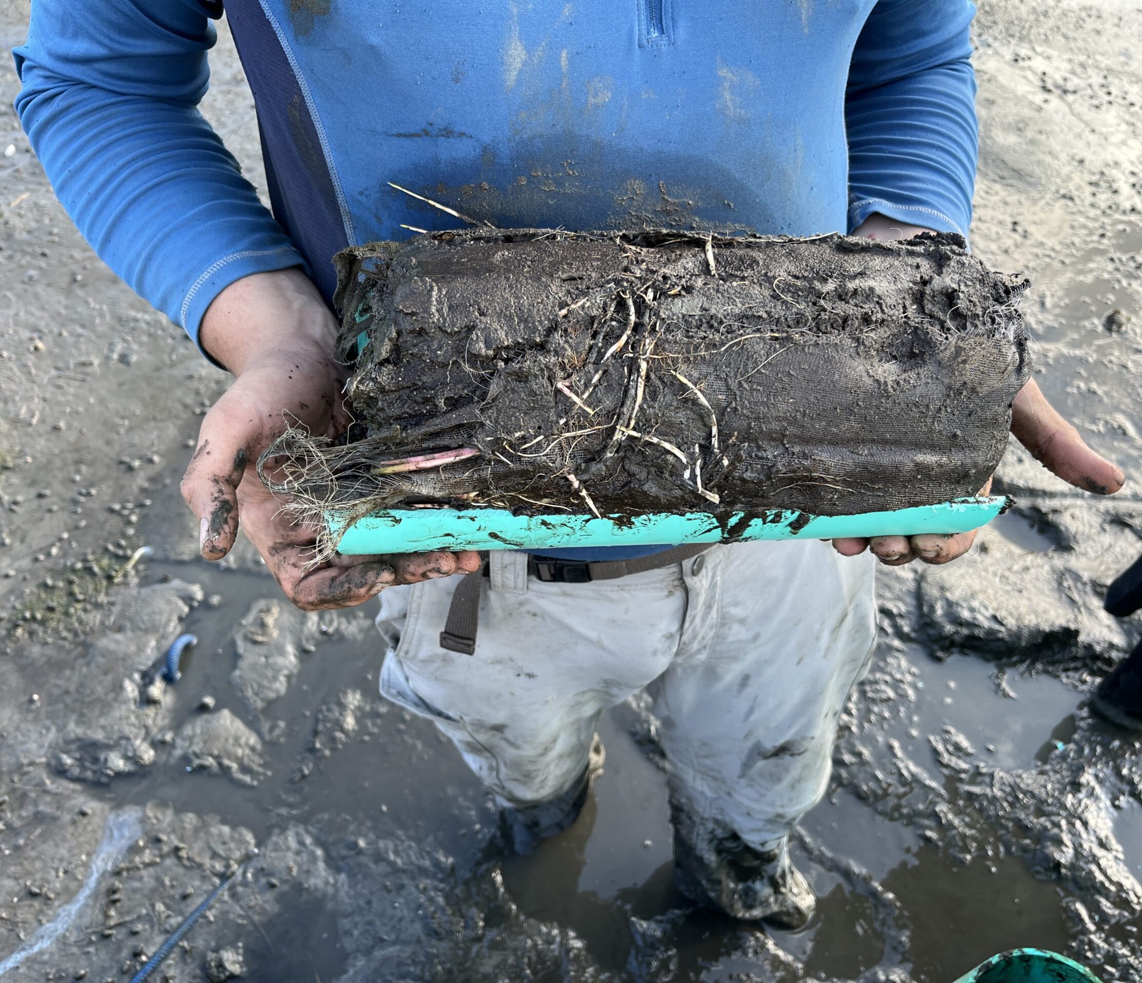
Oscillations are the rule in coastal marsh. Tides sweep back and forth through marsh soils, and the green marsh plants pull water from the soil on a daily basis. But how this constantly pulsing environment shapes and even dictates rhythmic interactions among plant roots, microbes, and soil-water chemistry is the question. This question is important, because these interactions drive coastal marsh ecosystem functions on which humanity increasingly depends. For example, much of the carbon captured by marsh plants is sent belowground to roots and rhizomes, where its fate is uncertain. What are major controls over microbial activity and soil carbon storage in coastal marsh soils? We suspect dynamism in soil redox status (including oxygen availability) strongly influences pathways of microbial respiration and protective association of organic carbon with iron oxide minerals. Working at Plum Island Ecosystem Long Term Ecological Research site near Boston, with support from the Simons Foundation, Zoe Cardon and Anne Giblin (MBL), Amanda Spivak (Univ. Georgia), Inke Forbrich (Univ. of Toledo), Jen Bowen (Northeastern Univ.), Charles Harvey (MIT) and Marco Keiluweit (Univ. of Lausanne) are testing the ability of tidal flushing and plant-driven water flow (transpiration) to drive dynamics in solute distribution and soil redox status, the microbial metabolisms enabled by those dynamics, the resulting shifts in environmental conditions affecting plant root respiration in the largely anoxic marsh soil, and the overall fate of plant carbon deposited in the soil environment. They are supported by a grant from the Simons Foundation Life Sciences division.
Not all nitrogen is created equal: Quantifying the effects of different nitrogen forms on marsh resilience
This project examines how different forms of nitrogen impact marsh function. Biologically available nitrogen can enter marshes as oxidized forms (primarily nitrate) or reduced forms (ammonium). The team hypothesized that the form of nitrogen influences the outcome of the competition between microbes and plants. When oxidized nitrogen forms are added, heterotrophic microbes which use nitrate to fuel their respiration of sediment organic matter maybe able to outcompete plants for the nitrogen. When ammonium is available, the plants can take up the ammonium and use it for growth. Determining whether the form of N supports plant growth, carbon sequestration, and marsh accretion or stimulates microbial decomposition is essential for predicting the long-term persistence of salt marshes in the face of sea-level rise. The project is a collaboration between Jen Bowen (lead) and Randall Hughes (Northeastern), Anne Giblin (Marine Biological Laboratory), and James Morris (University of South Carolina).

Plastic Spiraling In River Networks (Plastic-SIReN): Determining the controls of watershed plastic fluxes using a field and modeling approach
Plastic litter is a widespread problem. Oceans have accumulated up to 21.1 million tons of plastic, the majority of which enters via rivers. But rivers are not just pipes delivering plastic to oceans. Instead, as plastic moves downstream in rivers it may settle, break into pieces, or interact with organisms. A substantial amount of plastic is likely stored in rivers, but when and where plastic is stored vs. moved downstream remains unknown. The research combines field measurements and computer modeling across a range of stream sizes, which is novel in the field of plastic research. This research is needed to better manage plastic pollution, where to focus cleanups, and whether drinking water sources are affected. A diverse team of students will learn how to measure plastics in streams in three different watersheds.
The overarching research question is: “How does spatial and temporal variation in hydrology control the proportion of plastic debris that is retained within river networks vs. transported downstream?” The project will identify the role of flow variation, plastic characteristics, and watershed characteristics on plastic movement. A coupled field and modeling approach will be applied in the watersheds of three metropolitan regions (Chicago, IL; Boston, MA; Toronto, ON). Field measurements will take place at multiple sites in each watershed. At each site we will measure macro- and microplastic at base and storm flows to quantify plastic concentrations, types, size distribution, storage in sediments, and fluxes. A hydrologic model applied to each of the three watersheds will quantify river network-scale plastic accumulation, residence time, and retention. The team will work with watershed groups to identify hotspots of plastic accumulation to prioritize plastic waste cleanups and will present at ocean science and drinking water meetings, where management of plastic pollution is a major interest.
